
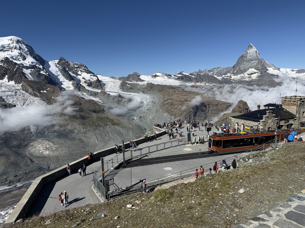
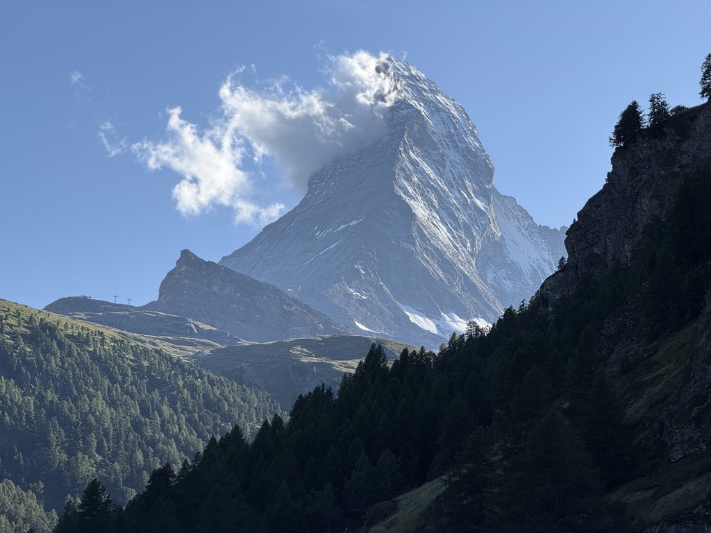
Gornergrat is a ridge above Zermatt, Switzerland, overlooking the eponymous Gorner Glacier and twenty-nine 4,000-meter peaks. For many, this is the peak (pun intended) of a trip to Zermatt. For fewer, it’s the start of journey; just one of many epic views and angles of the majestic Matterhorn as they make their way down to Zermatt.
This post is not so much a guide as proof of concept. In Switzerland, I was always asking myself “can I hike there?” The answer is almost always technically yes, but I quickly learned that just because you can doesn’t mean you should.
Lesson 1: If there is a funicular option, the hike is up probably quite steep. I learned this one hiking up the Flower Playground in Mürren.
In the case of this hike, there was consensus that the train up was the way to go. There was also agreement that hiking down to Riffelberg was great. But that’s where the hiking recommendations all seemed to stop and ended with taking the cable car or train the rest of the way down to Zermatt.
I needed to know if you can you hike all the way down from Gornergrat to Zermatt. The answer it turns out, is yes — but should you? Absolutely.
In this post, we’ll share our experience hiking from Gorngerat to Zermatt. Specifically, we’ll note the towns we used as guideposts, what food options were available, the segments with the very best views, and overall, the highs and lows along the way.
Trail Details
This hike is hard to pin down because there are lots of different route options, which vary in length and difficultly. While you’re out there, it’s often hard to know which trail you are on and which one you should take. We had a rough plan, but also largely decided to wing it. (Trails in Switzerland are incredibly well marked by destination and distance, so it’s easy to make decisions on the fly.)
I would call this hike moderate. It’s long, so it takes some stamina, but it is not technical nor dangerous. It is steep though, descending about 5,500 ft evenly over 9 miles. For what it’s worth, our hiker/city kid did it at age 4 with no complaints. (Well, probably some complaints, but no major ones that I remember in hindsight.)
Hiking Route
The route we cover here is a combination of a few different routes. Here are the links to the AllTrails hikes for each of the segments.
- Gornergrat to Riffelberg via Riffelsee
- Riffelberg to Riffelalp via Mark Twain Trail
- Riffelalp to Zermatt
For a more direct route from Gornergrat to Zermatt in a single map, you can also follow the Swiss Topwalk Trail. This route omits our Mark Twain Trail leg (which I adored), but otherwise passes through the same towns on the way down.
Time & Distance
In total, our hike came out to about 9 Miles and took us 5.5 hours. We departed Gornergrat at 11 AM at got to Zermatt town around 4:30 PM. That time included a stop in Riffelberg for lunch and a few other breaks along the way.
Weather Warning
We did this hike in the summer. There is a version of this hike that is possible in the winter, but not necessarily this exact route. Be sure to check here for current trail statuses in the Zermatt area. Only hike on open trails.
Part 1: Gornergrat Railway from Zermatt to Gornergrat
This hike begins at the top of a ridge, so let’s start by explaining how to get there.
Can you hike up to Gornergrat from Zermatt? Yes. Should you? No.
At altitude, the distance and elevation isn’t worth it for most, which is why we’re hiking down it in this post. Plus, the cogwheel train up is an experience itself.
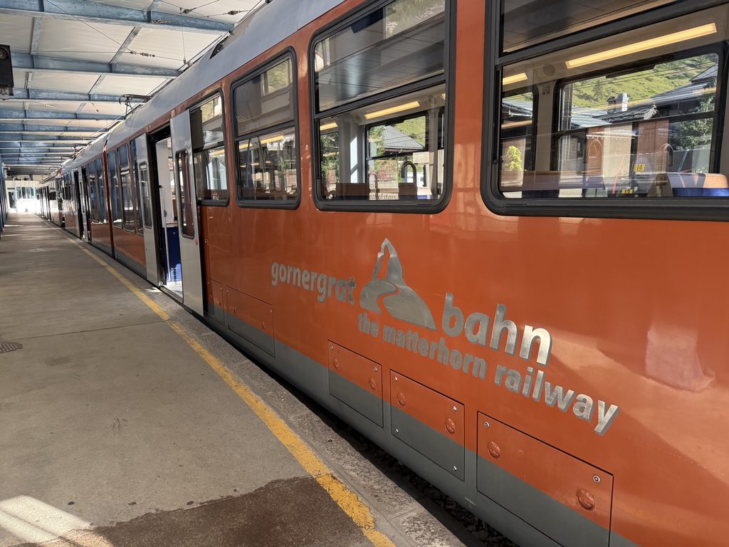
The Gornergrat Railway train runs from Zermatt to Gornergrat every 24 minutes throughout most of the day. You can buy tickets online in advance or at the kiosks at the station. It makes a few stops along the way, completing the journey in 33 minutes. It costs CFH 51-66 each direction, depending on season.
The train ride up is very scenic, offering views of Zermatt, Matterhorn and if you’re lucky, the famous Blacknose Sheep. For the best views, sit on the right side of the train in the direction of travel (the side closest to the boarding platform.) To guarantee a seat on the right side, you can pay an extra CFH 7 per person for priority boarding.
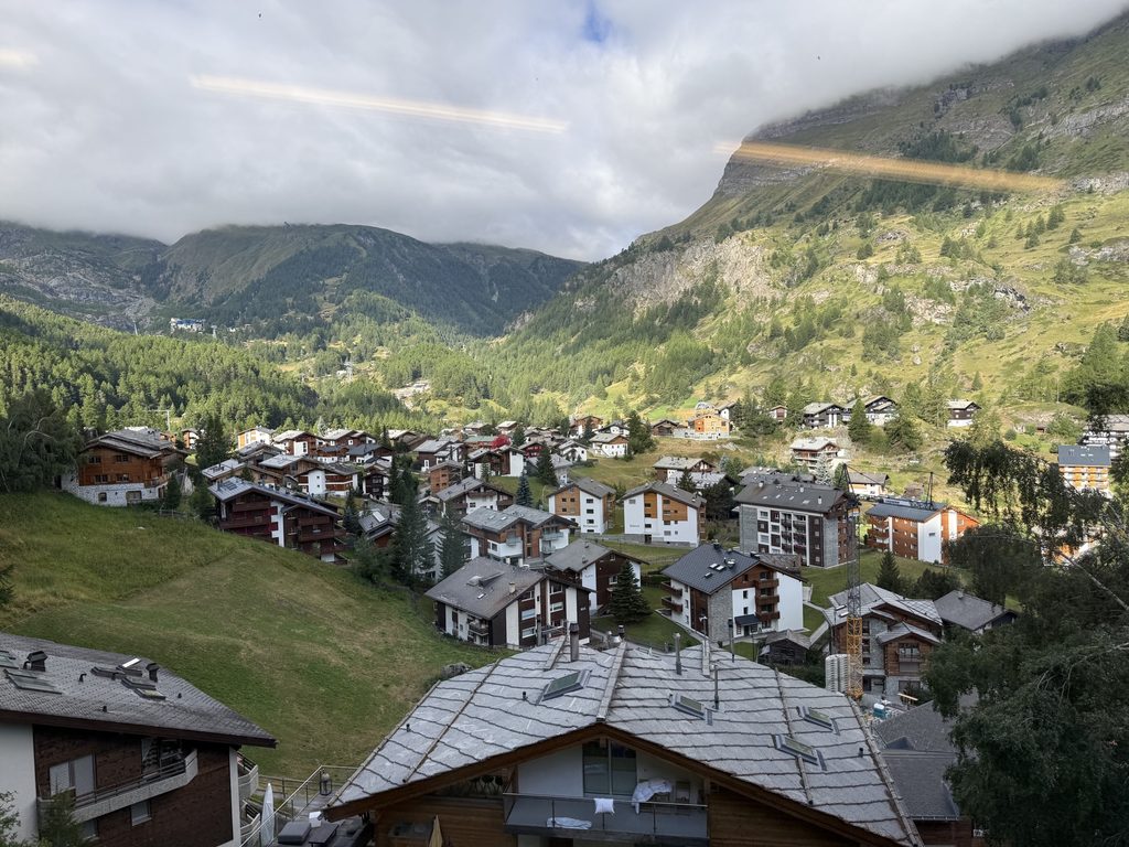
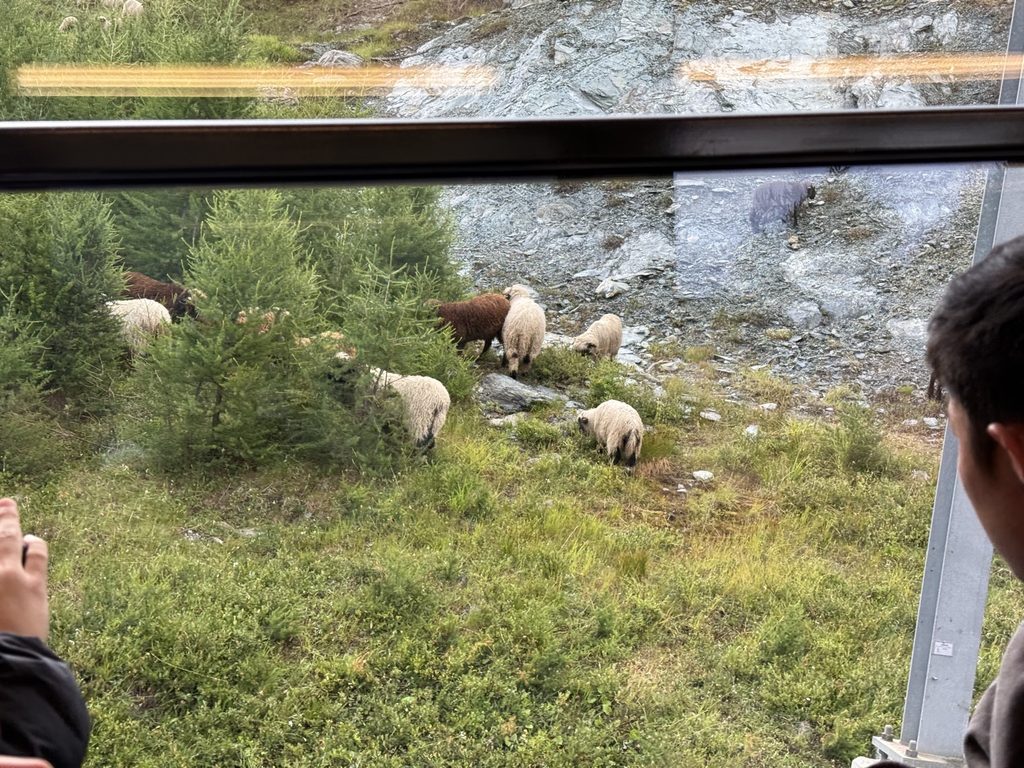
Honestly, I wouldn’t put too much weight on the view, and I don’t think the priority boarding was worth it. If you arrive early, you can still likely get a seat on the right side. Also, the views go by fast and aren’t always great. Even on the right side, between the clouds and the trees, we didn’t see much.
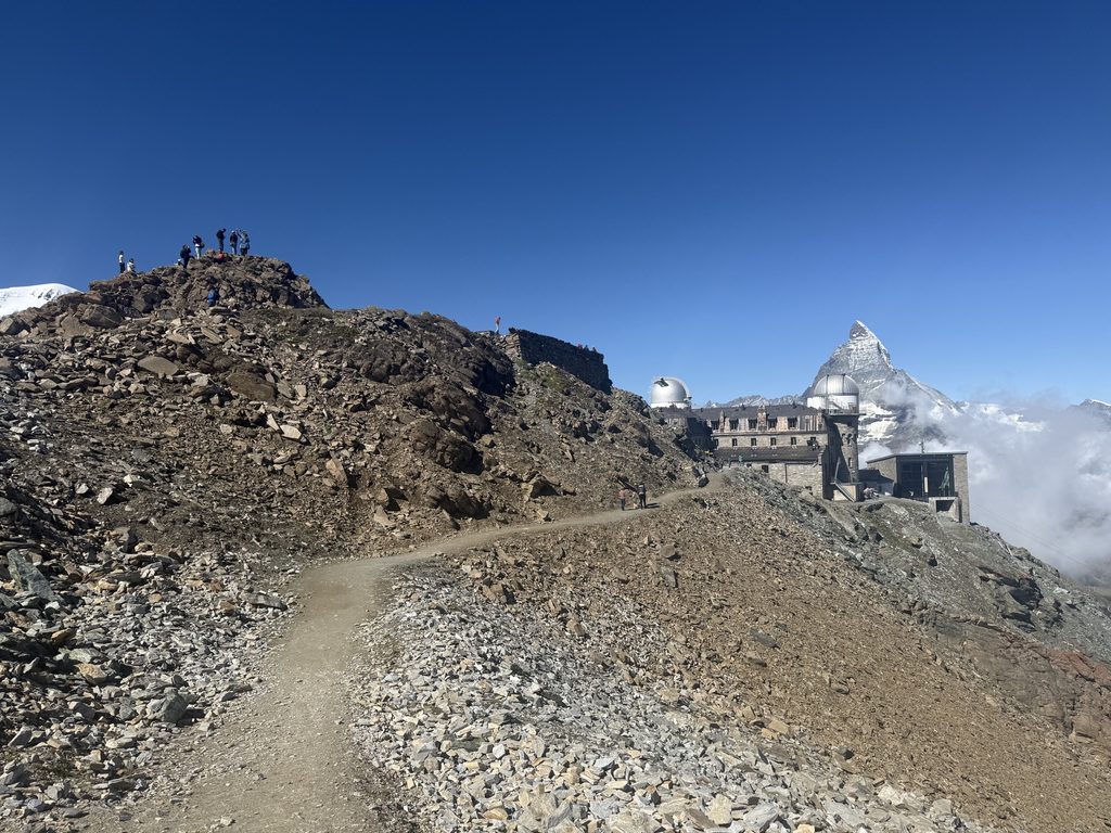
Gornergrat itself was lovely and the views of the Matterhorn, glaciers and surrounding peaks were stunning. We walked up to the observation platform, hiked the 360° Loop Gornergrat trail (0.5km), got a coffee and bought a t-shirt from the gift shop. In total, we spent about 90 minutes up there.
Part 2: Gornergrat to Riffelberg
Trail Map: Gornergrat to Riffelberg (Note: linked trail is round trip. This hike only uses the first half.)
Segment Distance: 4 miles
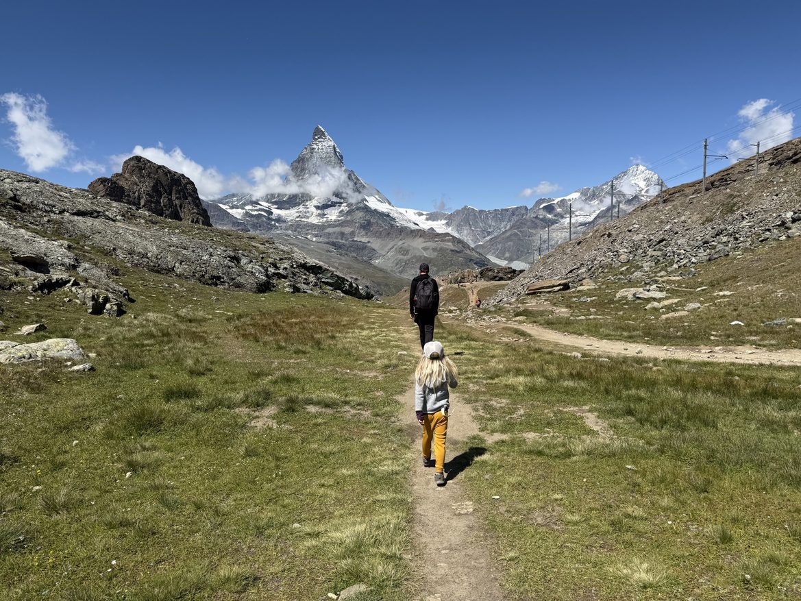
This is the most popular, and thus most crowded segment of this hike. It starts at Gornergrat, and you basically just walk straight in the direction of the Matterhorn until you get to an alpine lake, and then turn right, following signs to Riffelberg.
As you leave Gornergrat, there’s a trail marker. Follow the sign in the direction of Riffelberg. (Estimated at 1 hour, 5 minutes.)
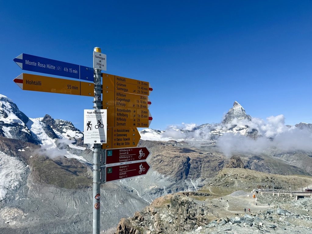
This segment is absolutely stunning. The terrain itself is rocky, but not technical or too steep. You’re walking straight toward the Matterhorn the whole way, and it’s incredible.
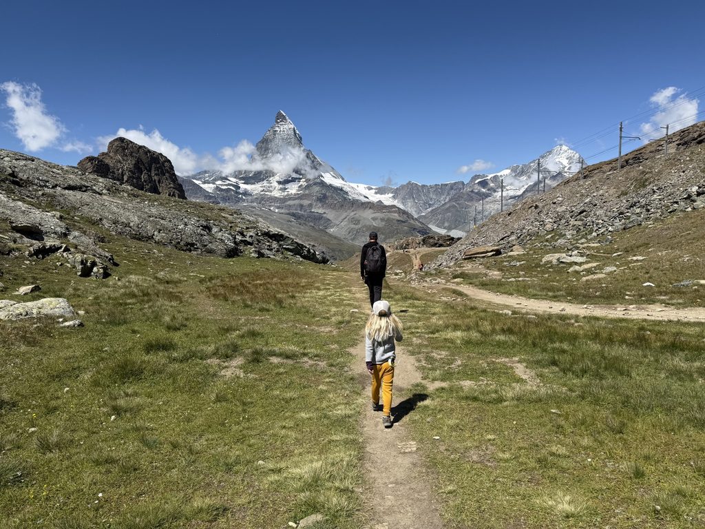
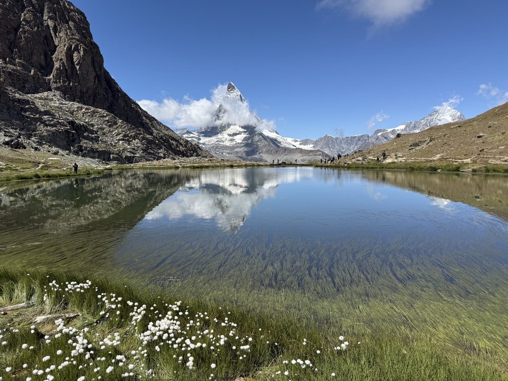
After about 1.2 miles, the trail runs right into Riffelsee. This is a beautiful alpine lake, that lots of people hike to (even as an out-and-back from Gornergrat.) If you catch it on a calm day, the reflection is stunning. It’s definitely a highlight of this hike, so it’s a good place to take a break or eat a snack.
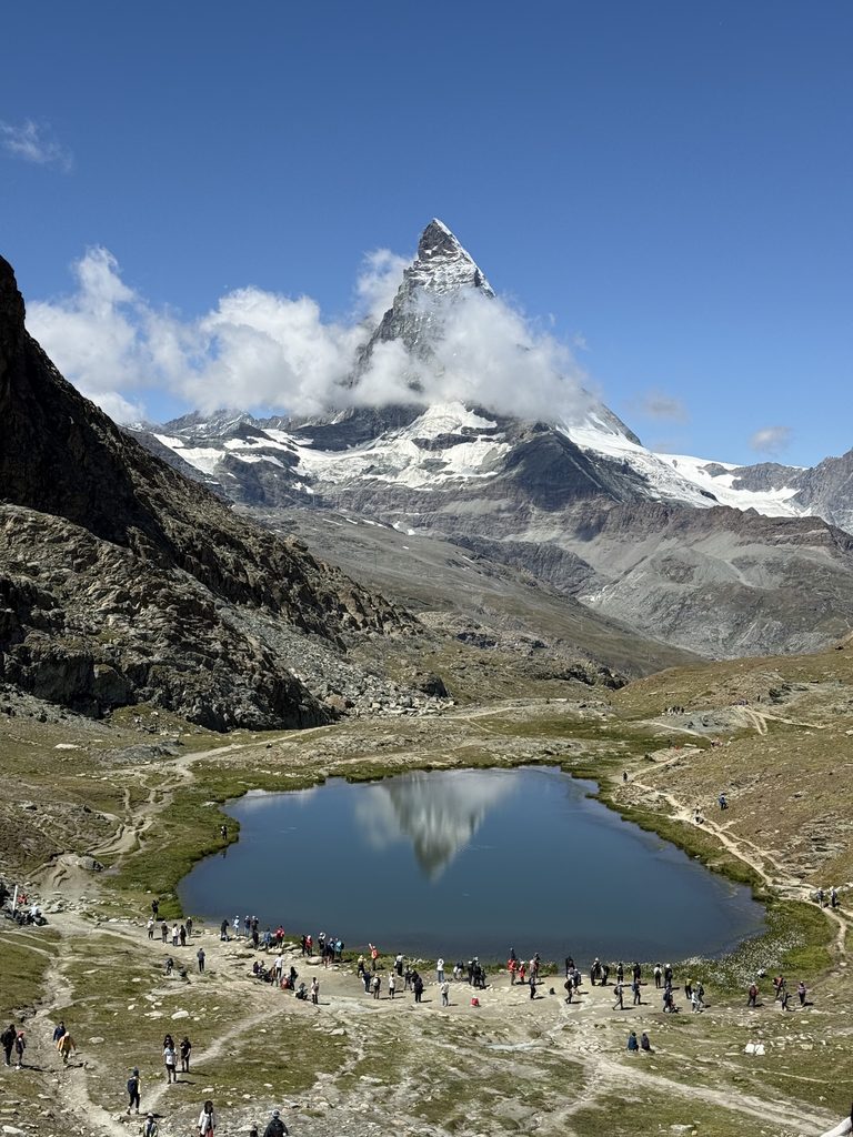
Tip! For the best views of the Matterhorn, start this hike before 11. In the afternoon, clouds often collect on the peak, even on an otherwise clear day, and tend to hover there. (We called this it’s hat.)
Just after Riffelsee, there is a second, smaller lake. This one is slightly less scenic, but also less crowded. If you want a break from the crowds with a lovely view, this is a great option. My kid also loved the swarms of tadpoles here.
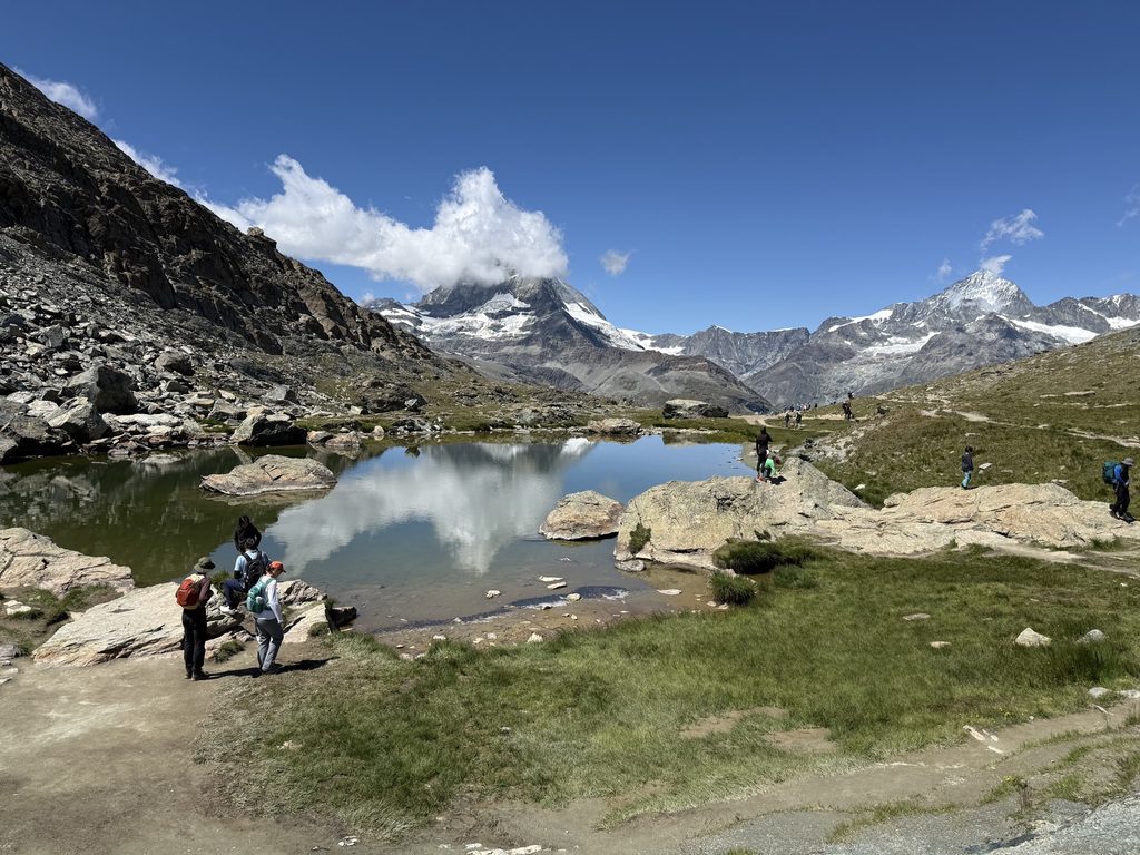
Continue on past this lake, and there’s another trail sign. Trails spill in all directions from here. Follow signs toward Riffelap (estimated 40 minutes.) After this turn, the trail turns away from the Matterhorn. The rest of the Alps are still pretty though, so it’s hard to complain.
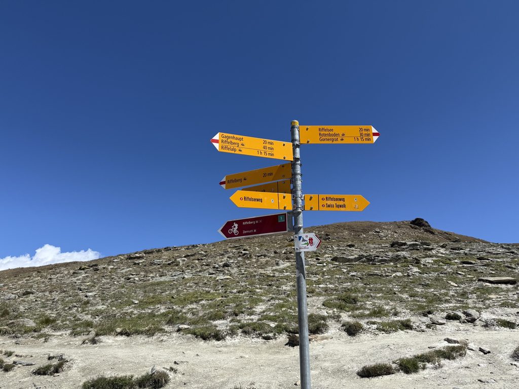
The trail leads right to Riffelberg. This little area has two restaurants and a hotel, plus a Gornergrat Railway station and a cable car station. It seems like most people who hiked to Riffelsee continued on to Riffelberg and caught one of these two connections.
It was 1PM when we arrived. We went to the quick-service restaurant near the cable car station and got the most delicious bowl of vegan chili and some full sugar coke. (There is also a full-service buffet at the hotel.) Then we continued on our way.
Part 3: Riffelberg to Riffelalp
Trail Map: Riffelberg to Riffelalp (Mark Twain Trail)
Segment Distance: 2.1 miles
Total Distance: 6.1 miles
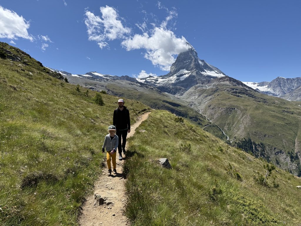
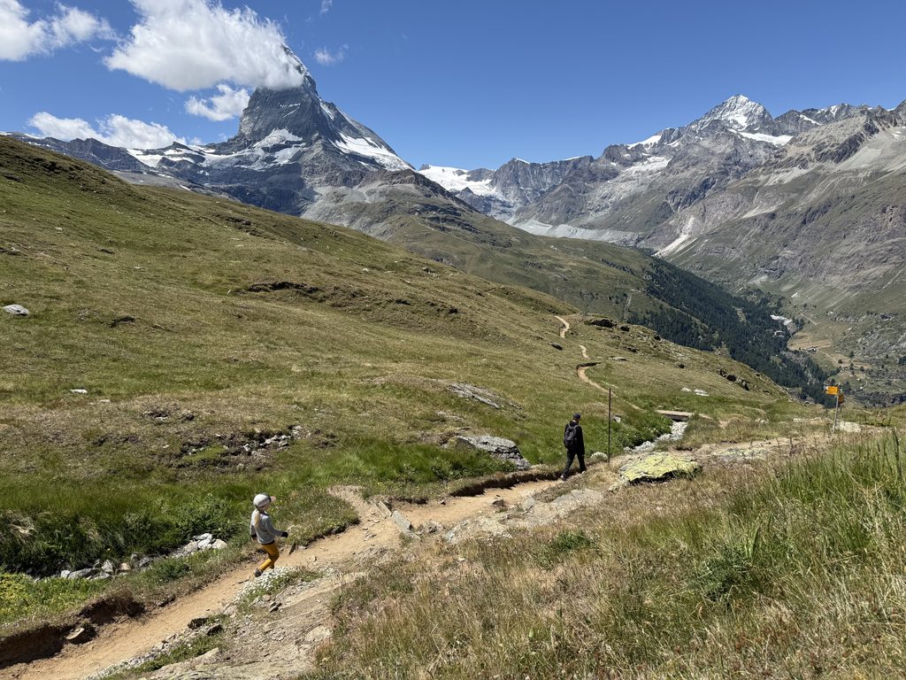
Leaving Riffelberg, we looked for our next trail sign. We followed the sign for Mark Twain Trail in the direction toward Zermatt (not toward Gornergrat.) In this section, we stared up at the Matterhorn, gazed down at Zermatt, and finally dipped below the tree line. It was my favorite segment.
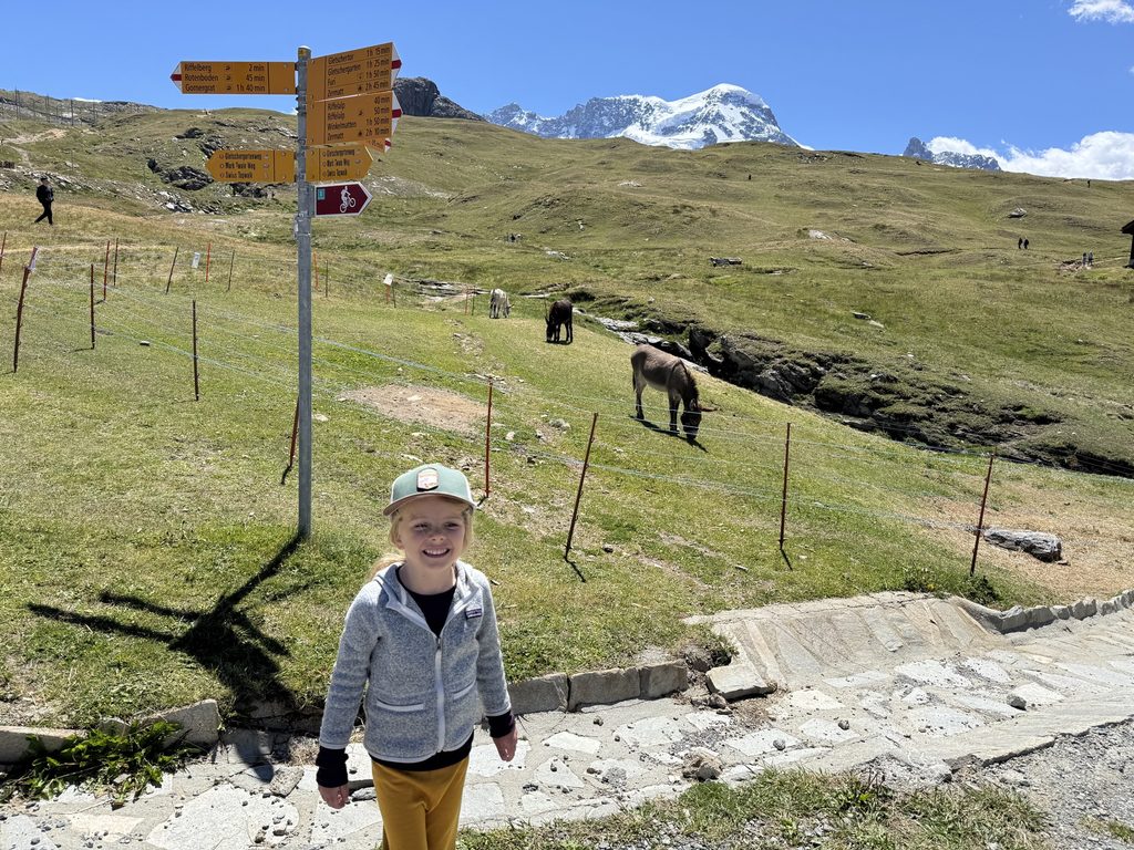
This section of trail is called the Mark Train Trail, and it is named so after the famed writer who visited the area and hiked the trail in 1878. (He tells the stories of his Zermatt adventures in the book, A Tramp Abroad.) I loved our little stint on the Mark Twain Trail.
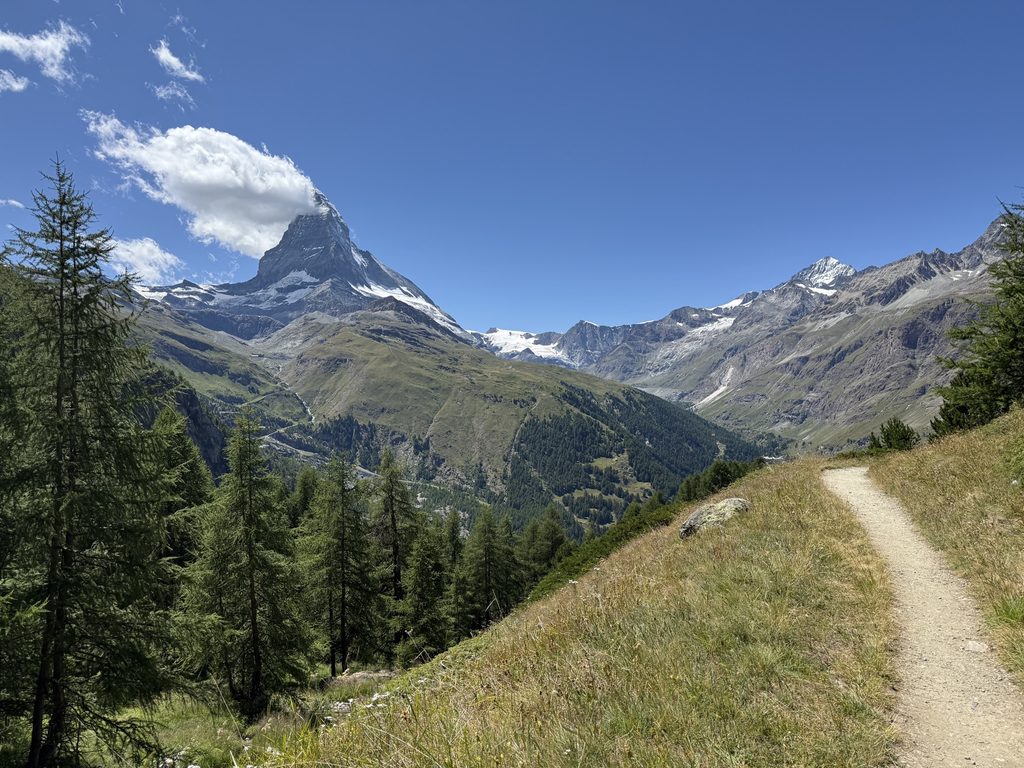
Most routes from Gornergrat to Zermatt don’t include this leg on the Mark Twain Trail. And from the image below, maybe you can see why. It’s … a little out of the way.
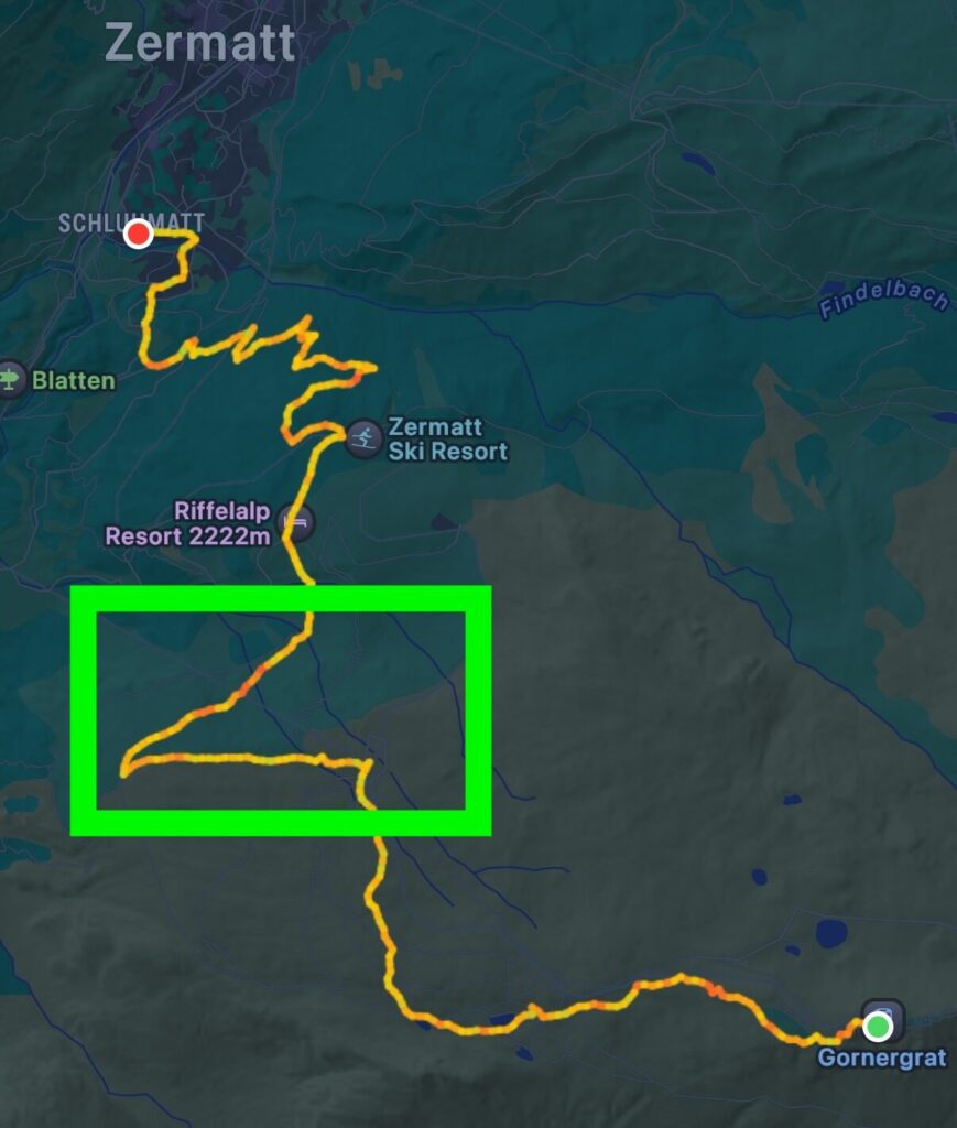
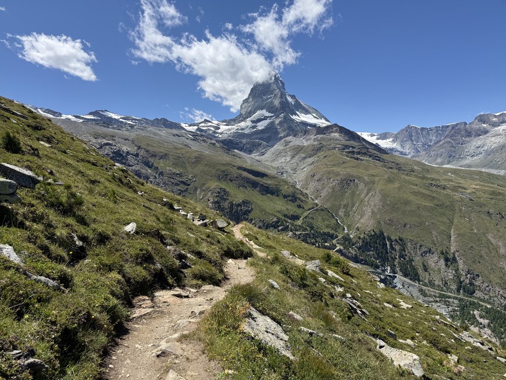
But that sharp cut to the left has you gazing at the Matterhorn again. The trail cuts through the mountainside, full of the most stunning views.
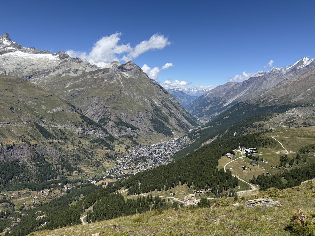
After about .7 miles, there is another trail sign. Follow the sign toward Riffelalp, which is basically a 180 degree switchback. Now, you’re staring down Zermatt from above! (And people just skip this section!?)
After this hillside stretch, things did start to get a bit more interesting hiking wise.
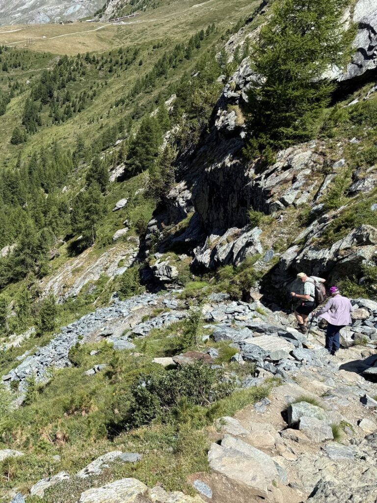
About a half mile after the last switchback, we crossed under the cable car and hit a series of rocky switchbacks. This was the most technical portion of the entire hike. We passed a couple with hiking poles here, which was probably smart. This stretch descends about 200 feet in about .25 miles at a grade of about 30%.
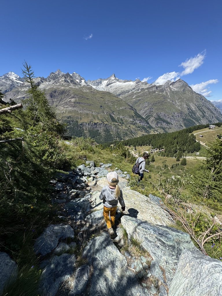
This stretch also had us dipping below the tree line, so we went from sparse rocky paths, to grass meadows, to evergreen forests all in this one segment.
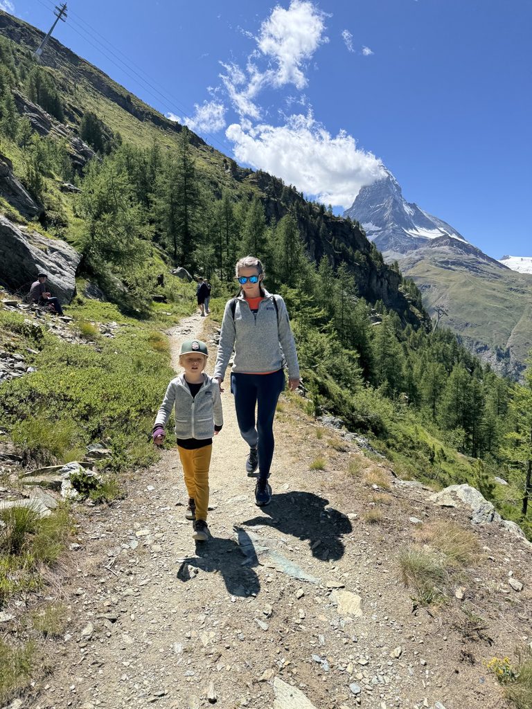
By 2:30, we arrived at Riffelalp where we were greeted with a playground with the most epic views of all time.
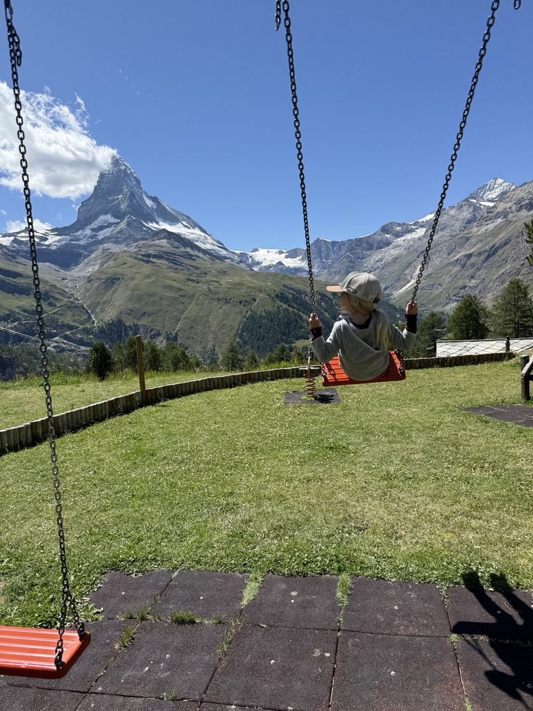
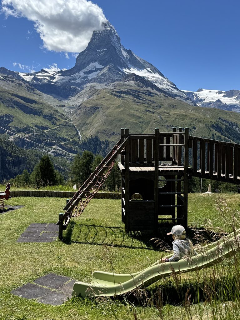
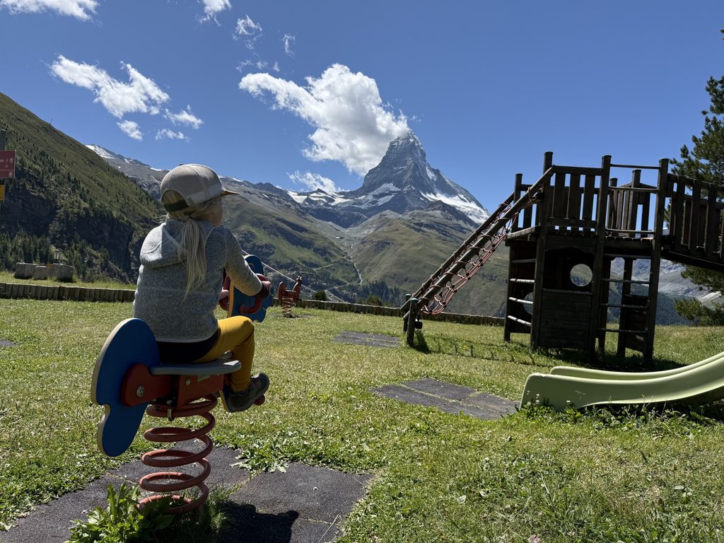
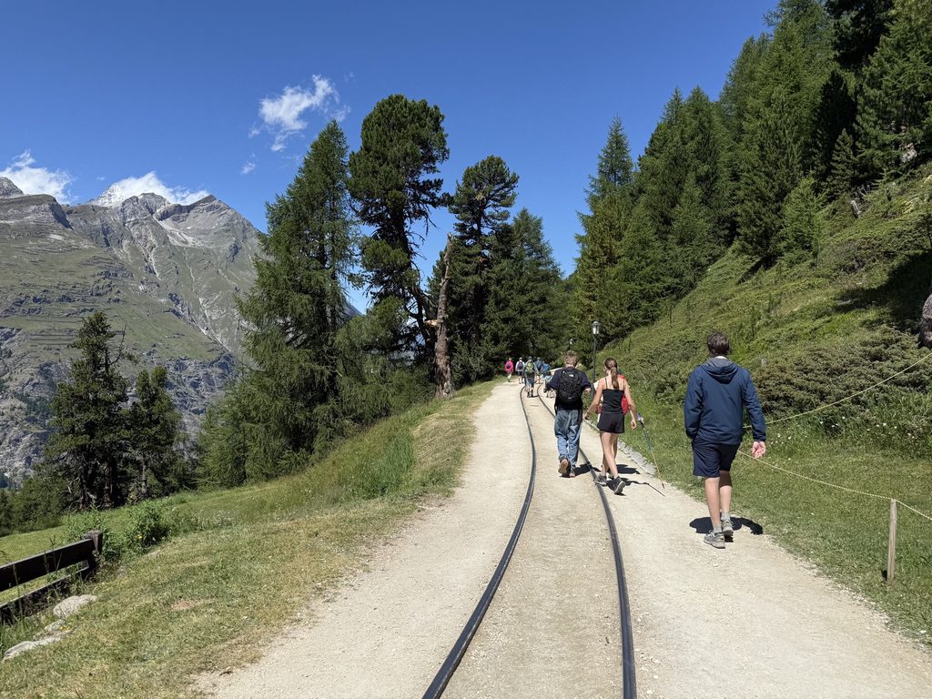
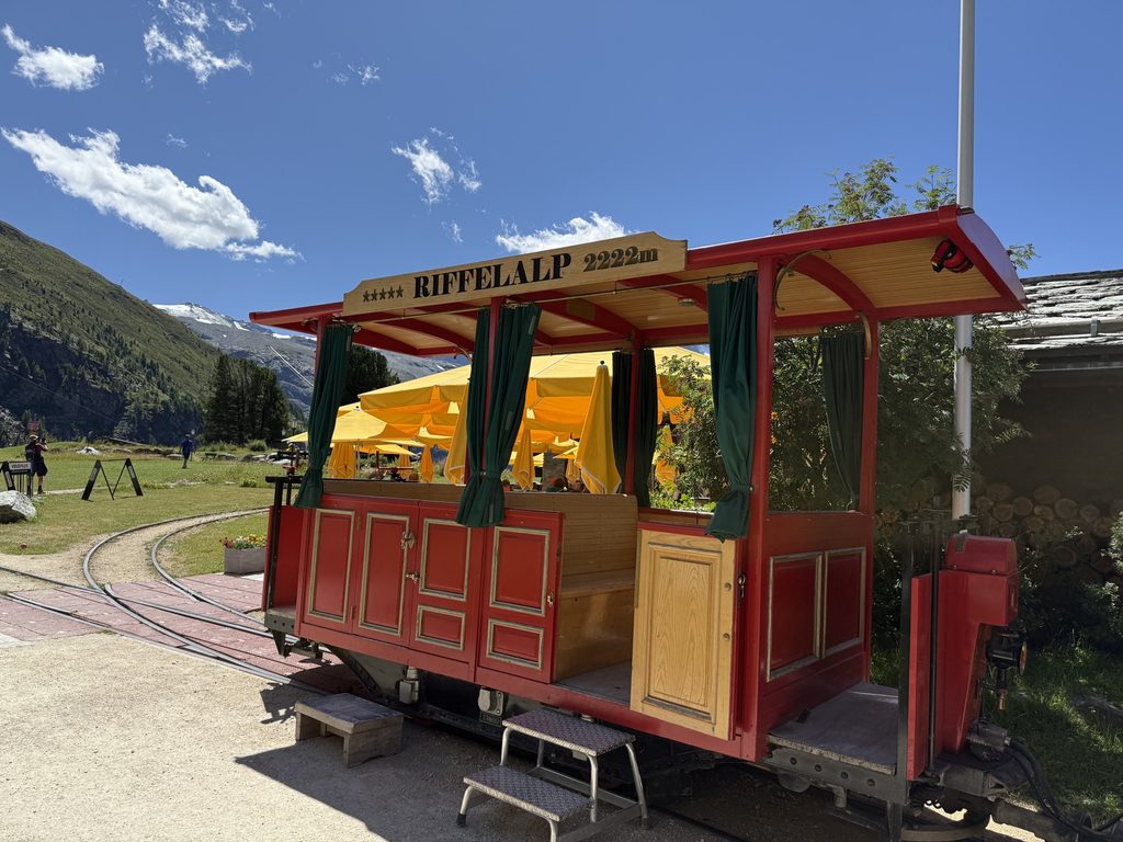
In addition to the playground, the main “town” area of Riffelalp has a few restaurants, a hotel and cute little square. The cable car station is also right here. The train station is about a mile away, and you can get there by hiking or by taking an adorable little tram. We were hiking, so of course we walked to the train station.
Part 4: Riffelalp to Zermatt
Trail Map: Riffelalp to Zermatt
Segment Distance: 3 miles
Total Distance: 9.1 miles
We crossed the tracks at the Riffelalp train station and went the only way to go: down.
This is the part of our hike where our exact route and the AllTrails route started to differ. As we got closer to Zermatt, there was a bigger web of trails to navigate and they all roughly led to the same places. Instead of following a specific trail, we checked the trail markers every time we passed them and mostly just followed the signs toward Zermatt.
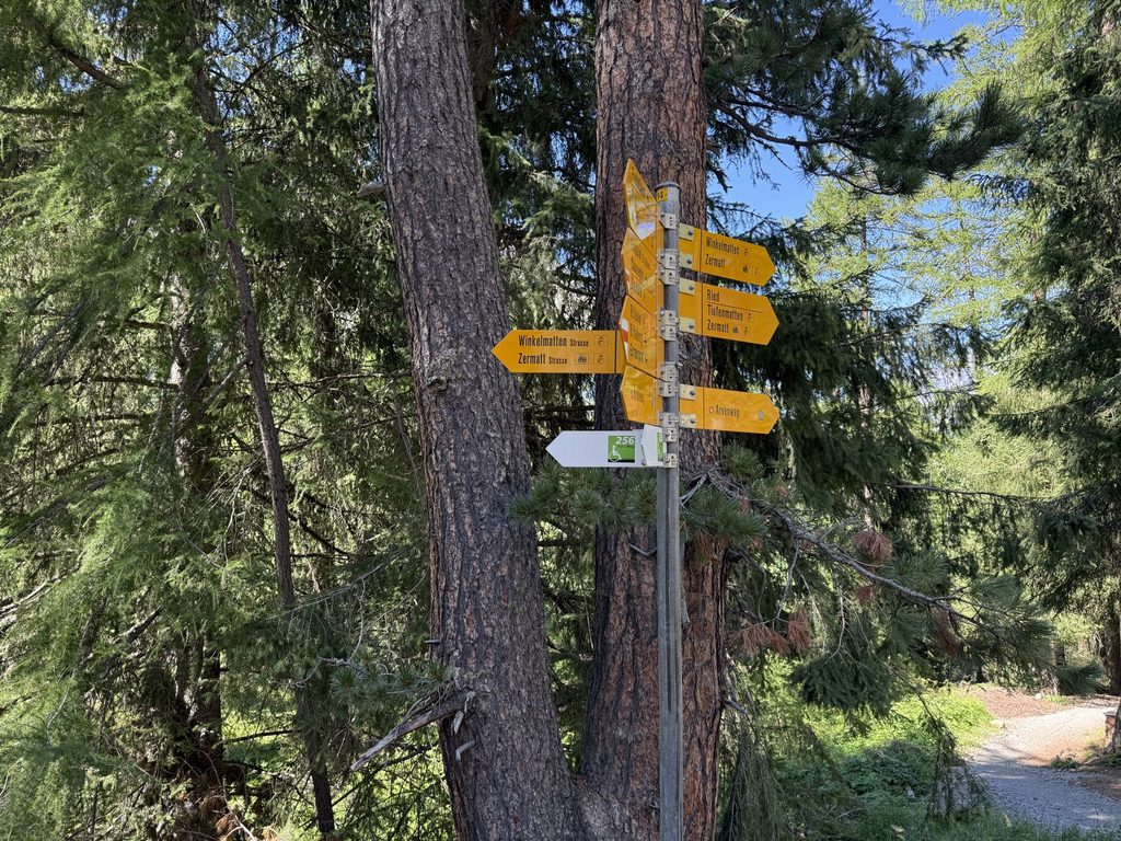
I’ve got to say, things were getting tough at this point. We’d also been hiking for five hours, and were ready to be done. (Particularly the 4 year old.)
This section was steep and had lots of switchbacks. The final three miles went down almost 2,000 feet. It was very pretty and we did get peaks of the Matterhorn every so often, but it was mostly conifer forest views.
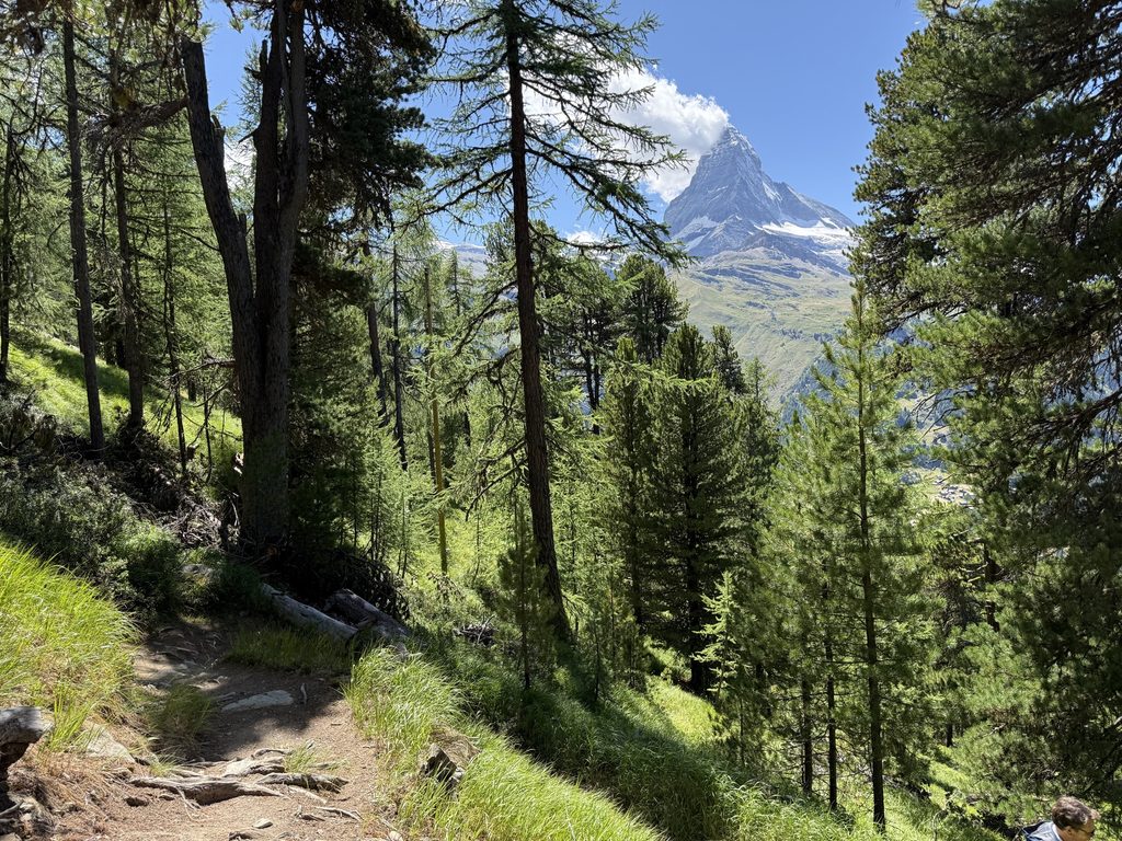
We got a little turned around at some point heading back toward town. (Again, there are lots of ways back to Zermatt and it’s hard to know which one is “right.”) We did a short stint on a road, I believe because we ended up on the bike path, but we were never lost. The trails are incredibly well marked and there were signposts at every intersection.
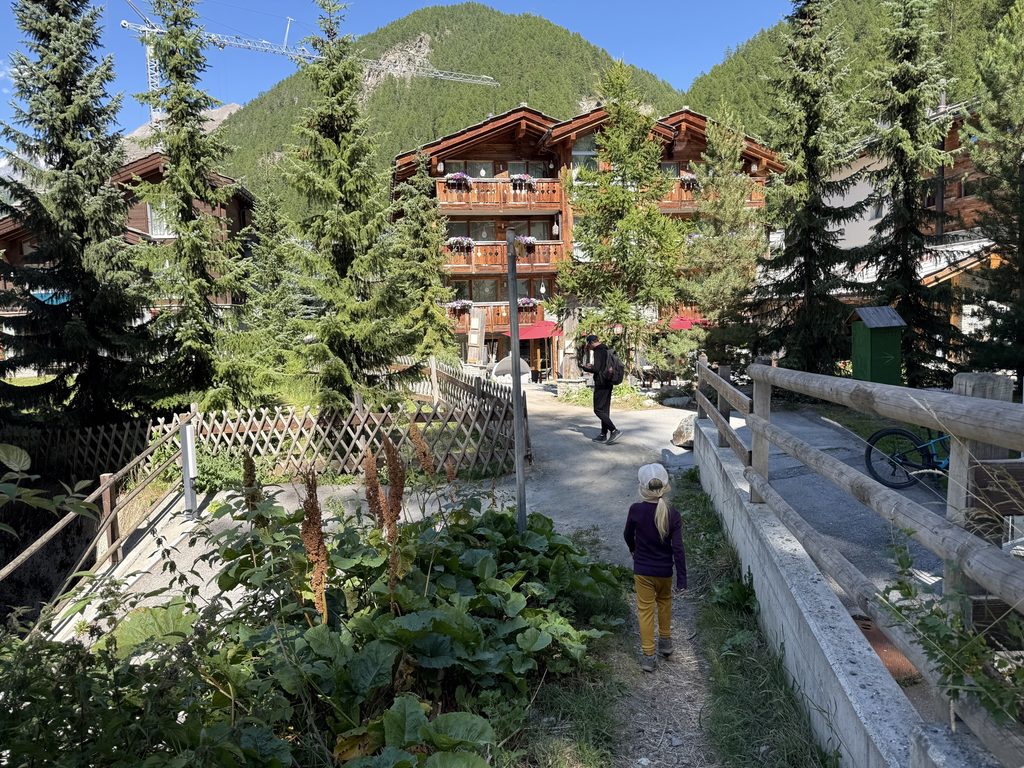
Around 4:30 PM, the trail spit us out on a city street. And just like that, we were back in Zermatt. We made our way back to our hotel tired and delighted.
Main Takeaways & Tips
It’s a moderate difficulty hike. I’d categorize this hike as moderate for distance and decline, but it’s not technical or scary. The last third was the hardest, because it was a lot of switchbacks and a bit of scrambling. The entire hike is also downhill, which is easier than uphill in some ways, but it does get tough on your knees and quads toward the end.
The best views are between Gornergrat and Riffelsee, and the Mark Twain Trail.
Look for trail markers. Don’t waste your battery trying to follow the exact AllTrails route. There are trail markers at every intersection. Follow signs to Riffelsee > Riffelalp > Zermatt. Even if you take a slightly different route, you’ll get there.
Stop for a meal. There is food and drinks available at Gornergrat, Riffelberg, Riffelalp, and of course Zermatt. (I love that about hiking in Switzerland!) Any of these options will offer a hearty meal and amazing view. I’d recommend Riffelberg for the views, and also for a mid-trail break.
Start early. Plan to depart Zermatt on Gornergrat Railway between 7-8 AM, and then start the hike down before 11. The early start will come with lower crowds all around (on the train, at Gornergrat, and on the trail), and you’ll hopefully get cloud-free views of the Matterhorn for longer.
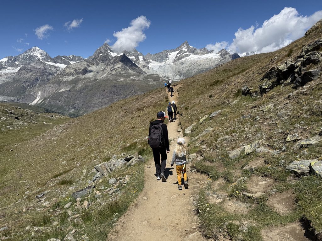
Most of the trail isn’t that crowded. Gornergrat to Riffelsee is a very popular and crowded stretch, followed by the Riffelsee to Riffelberg. The path through this area is wide though, and it doesn’t get too congested. After Riffelberg, I can count on my fingers the number of other hikers we passed.
There are plenty of chances to bail. If you’re unsure about this hike, take comfort in knowing that there are multiple opportunities to bail. If you get sore or bored early, you can take the train or cable car down from Riffelberg or Riffelalp.
It’s worth it. This hike has everything: Matterhorn views, alpine lakes, mountain hut dining, dazzling conifer forests. Other than actually climbing the Matterhorn, it’s the best way to experience the Matterhorn. It’s definitely worth pairing with Gornergrat for the perfect Zermatt day.
Leave a Reply